yahoo Press
Here's why experts are warning California about 'The Big One'
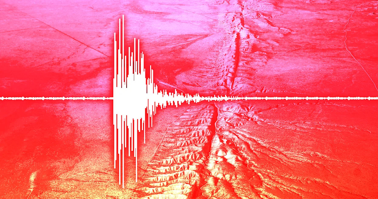
Images
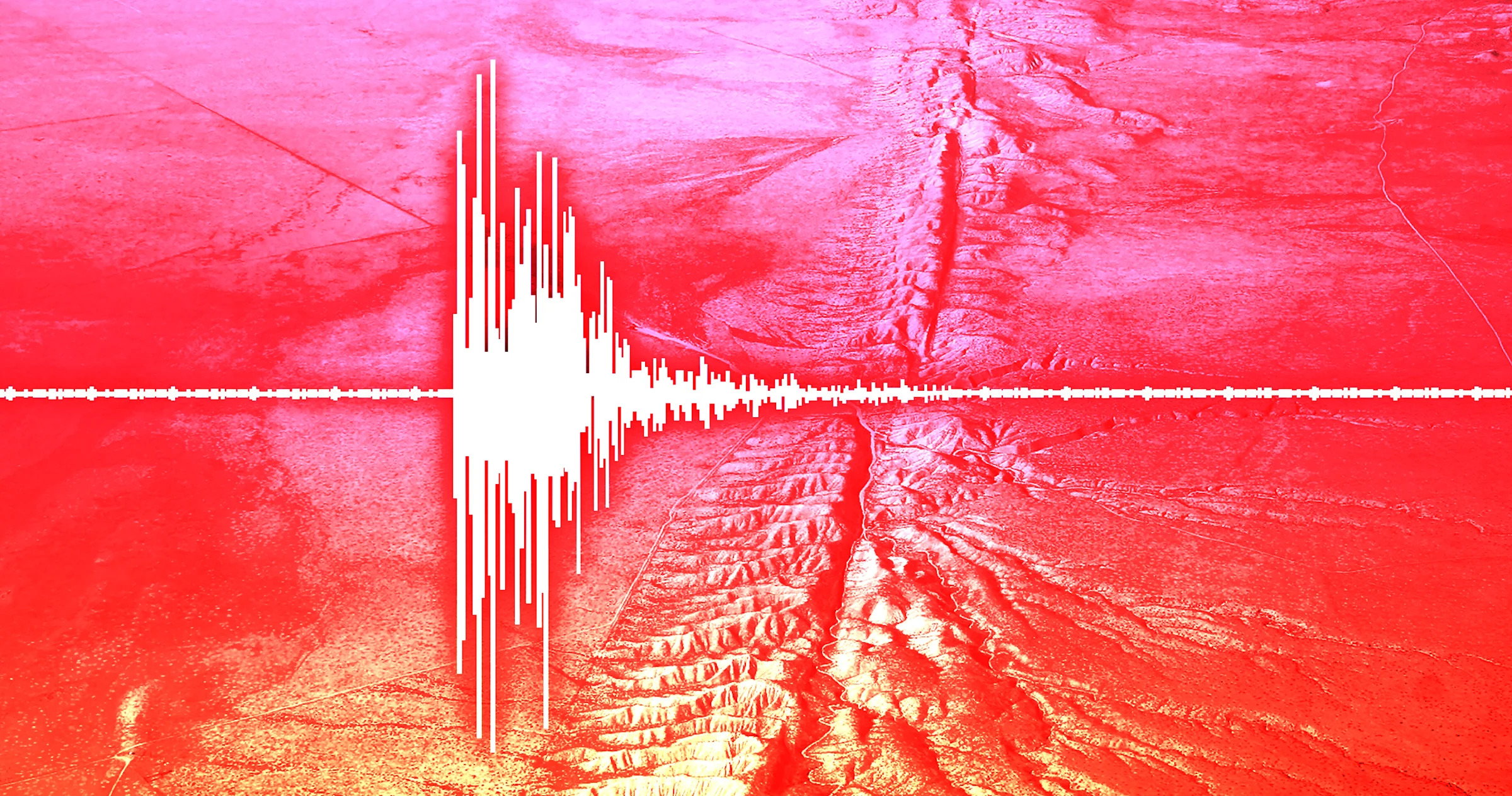
1 / 7

2 / 7

3 / 7

4 / 7
5 / 7

6 / 7

7 / 7
The most significant seismic event in California's history – an earthquake of 7.9 magnitude – occurred in 1857 and ruptured about 225 miles on the San Andreas Fault. That earthquake, dubbed the last "Big One," killed two people and produced shaking that lasted between one and three minutes.

Since then, California has exploded in population and been has been rattled by many major earthquakes. But Californians have also grown familiar with the existential dread of another "Big One" looming.

Researchers have long warned there will be another massive earthquake in Southern California. They just don't know when.

A recent study says warning signs continue to grow in 2026. The San Andreas and San Jacinto fault systems have reached the highest stress levels seen in the past 1,000 years, according to a study conducted at the University of Hawaiʻi at Mānoa.

The San Andreas fault runs throughout the state, passing through San Francisco and San Bernardino, while the San Jacinto fault is in Southern California and runs through Riverside, San Diego and Imperial Counties.

Unable to view our graphics? Click here to see them.

Faults rupture on the San Andreas Fault approximately every 150 years, according to UCLA professor Jonathan Stewart, who studies earthquake engineering.

But it's been over 300 years since the last "large rupture" occurred south of the 1857 Fort Tejon earthquake, Stewart said. "As far we know it didn't produce a large rupture since around 1690. To the present that's a lot more than 150 years, so there's a lot of build-up. That doesn't mean it's going to happen immediately, it just means there is more stress built-up."

When the earthquake happens, it is likely to cause a lot of damage. One major concern is the state's water systems.

"An earthquake like this would rupture most, if not all of the major aqueducts bringing water into Southern California," Stewart said. "Most people will not be in a collapsed structure after this earthquake, but everybody's going to be affected by water problems."

To investigate the probability of an earthquake occurring, researchers built a physics-based simulation and fed it the earthquake history from the region. By doing so, they were able to estimate how much stress has built up along the southern San Andreas and San Jacinto fault systems.

The results suggest that catastrophe may be near.

“Right now, with stress at historically high levels across the region and more than 160 years elapsed since the last major rupture, the system is in a critically loaded state," lead author Liliane Burkhard said.

Most importantly, the Cajon Pass, at the junction of the San Andreas and San Jacinto faults, could facilitate a joint rupture of the two faults. This scenario, according to the study, would probably be "significantly more damaging" than a single-fault event.

Seismic hazard assessments are critical for the safety of the millions of residents in California's densely-populated and earthquake-prone areas.

Seismic Hazard maps show the relative hazard associated with earthquakes using information on past faults, the behavior of seismic waves and the near-surface conditions of specific locations, according to the U.S. Geological Survey.

Larger values indicate a stronger level of earthquake shaking. A peak ground velocity of 269 cm/sec would correspond to extreme shaking and heavy damage. For reference, the largest ground velocity recorded in Taiwan's 1999 Chi-Chi earthquake reached 318 cm/sec and had a magnitude of 6.7.

That earthquake killed more than 2,000 people and incurred approximately $14 billion in damage.

The San Andreas and San Jacinto faults are strike-slip faults, which typically cause horizontal displacement. Both faults comprise the geologic boundary between the Pacific Plate and the North American Plate.

If a major earthquake occurs on the San Andreas fault, it is likely to produce surface rupture, which occurs when a fault breaks through to the surface. Most earthquakes, however, do not produce surface rupture, according to USGS.

In a major rupture, strong shaking could cause severe damage near the fault and in areas built on soft or water-saturated soils, which can amplify shaking. Rupture can directly offset roads, buildings, and other structures that span the fault trace.

Although the study helps explain the risk associated with the California fault lines, Burkhard emphasized that it shouldn't serve as a forecast.

“This is not a prediction of when an earthquake will happen,” Burkhard said. “However, studies like this are important contributions to national and global earthquake hazard research in that we are using rigorous, quantitative science to better understand the risk facing millions of people."

Contributing: Brandi D. Addison, USA TODAY NETWORK

This article originally appeared on USA TODAY: Maps show California earthquake risk, 'critically loaded' faults