yahoo Press
Southern California storm timeline locks in, here’s what to expect
Images
1 / 7

2 / 7

3 / 7
4 / 7

5 / 7

6 / 7

7 / 7
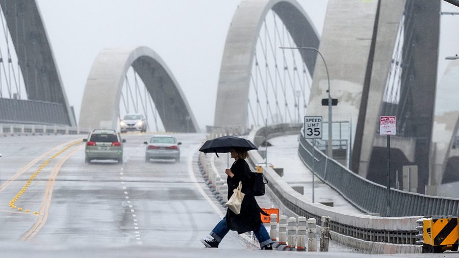
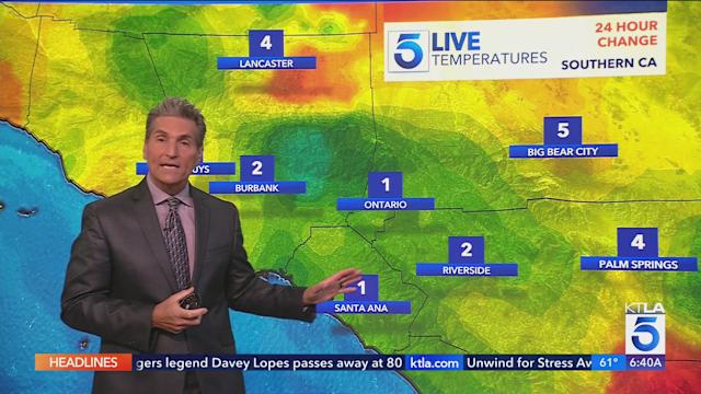
As weekend storms bear down on Southern California, forecasters are beginning to pinpoint when the most rain will fall and how much the region is likely to get.

“We will get rain, but we won’t get it on Friday,” KTLA meteorologist Henry DiCarlo said Thursday morning. “We’ll get very little rainfall as far as accumulation on Saturday, but it will be enough to keep you guessing with the dark skies and light rain.”

The more significant rain, DiCarlo said, will arrive later in the weekend.

“It’s the second system overnight Saturday through Sunday, now that’s looking like the period … that’s where we see the greater chance of rain and the higher rainfall totals.”

The National Weather Service agrees that the first system moving through Southern California will remain mostly north of the greater Los Angeles area, bringing only about a tenth of an inch of rain to most locations overnight Friday. Much of Saturday is expected to be spent between storms.

By Saturday night, a much colder and more vigorous system moves through, bringing a greater than 80% chance of rain to all areas, according to the weather service. Rain totals with the second storm will be higher than the first system, but still not especially impressive.

“I would be surprised if the majority of areas got any more than a quarter inch to a half an inch,” Henry said. “Some of you will get more because some of you will get thunderstorms.”

The chance of thunderstorms could push rain totals in some areas to more than an inch, according to the weather service.

Snow levels are expected to remain relatively high, with only a few inches of accumulation around resort elevations.

A warming trend is expected to return to the region early next week.

Copyright 2026 Nexstar Media, Inc. All rights reserved. This material may not be published, broadcast, rewritten, or redistributed.

For the latest news, weather, sports, and streaming video, head to KTLA.